|
|
||||
|
|
 |
Interactive
Maps and Animations and Photomontages |
|
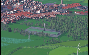
Interactive Maps and Animations and Photomontages Animations and traditional photomontages of projects are created in an easily accessable web based format, linked together by interactive maps. This enables superior project presentation either uploaded to project websites, distributed by CD, or used in presentations with projectors and screens. 3D interactive map and animations 2D interactive map and animations
Cumulative impact can be tangible communicated to the public in pre-planning using wide angle photomontages:
|
|||||||